
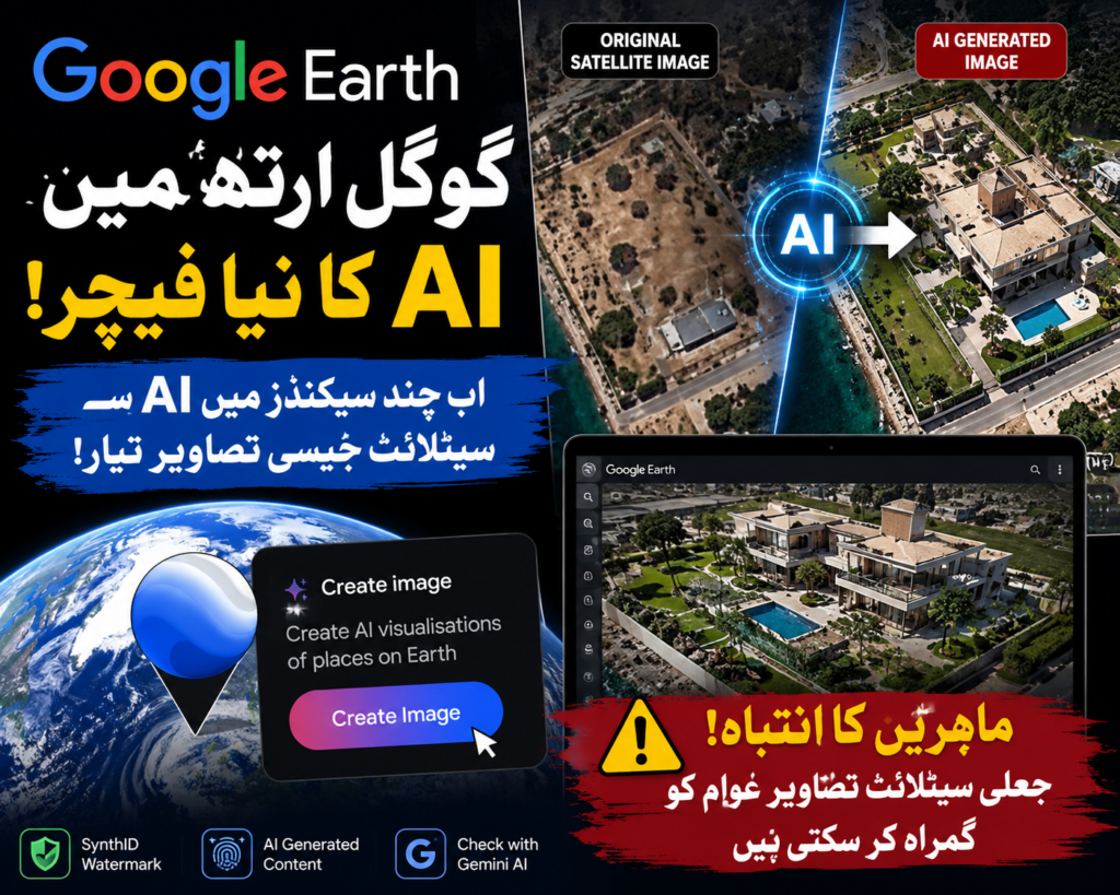
WASHINGTON: Google has introduced a new artificial intelligence feature for Google Earth that allows users to create AI-generated visual scenes using the platform’s satellite, aerial, and 3D mapping data. While the company says the tool is designed for creative and educational purposes, researchers are warning that it could also make it easier to create misleading satellite-style images.
The newly released “Create Image” feature is powered by Google’s Nano Banana 2 AI model. It enables users to zoom into locations within Google Earth and generate customized visuals in just a few seconds by using existing geographic data as a foundation.
According to Google, the feature is intended to help people recreate historical environments, design real estate concepts, and explore creative mapping ideas. However, digital investigation experts believe the technology could also be exploited to produce realistic-looking but entirely artificial satellite imagery.
Researchers say Google Earth has long been considered one of the world’s most trusted sources for geographic reference and fact-checking. They fear that blending AI-generated content with authentic mapping data could make it increasingly difficult for journalists, investigators, and the public to distinguish genuine images from fabricated ones.
Digital investigations expert Henk Van Ess warned that AI-generated visuals may gain credibility simply because they originate from a trusted platform like Google Earth. Even if the generated image is fictional, users may assume it accurately represents a real location.
Satellite imagery analyst Brady Africk also expressed concern, saying the update could make convincing fake satellite images easier to create and distribute online. He noted that as AI-generated content becomes more common, public confidence in satellite imagery may decline, making verification more challenging for researchers and news organizations.
In response to these concerns, Google said that every image produced through the new feature includes SynthID, an invisible digital watermark embedded in AI-generated content. The company added that users can verify whether an image contains this watermark by asking Google’s Gemini AI assistant.
Although the new AI capability offers exciting creative possibilities, experts believe responsible use and stronger verification tools will be essential to prevent misinformation and protect trust in digital mapping services.
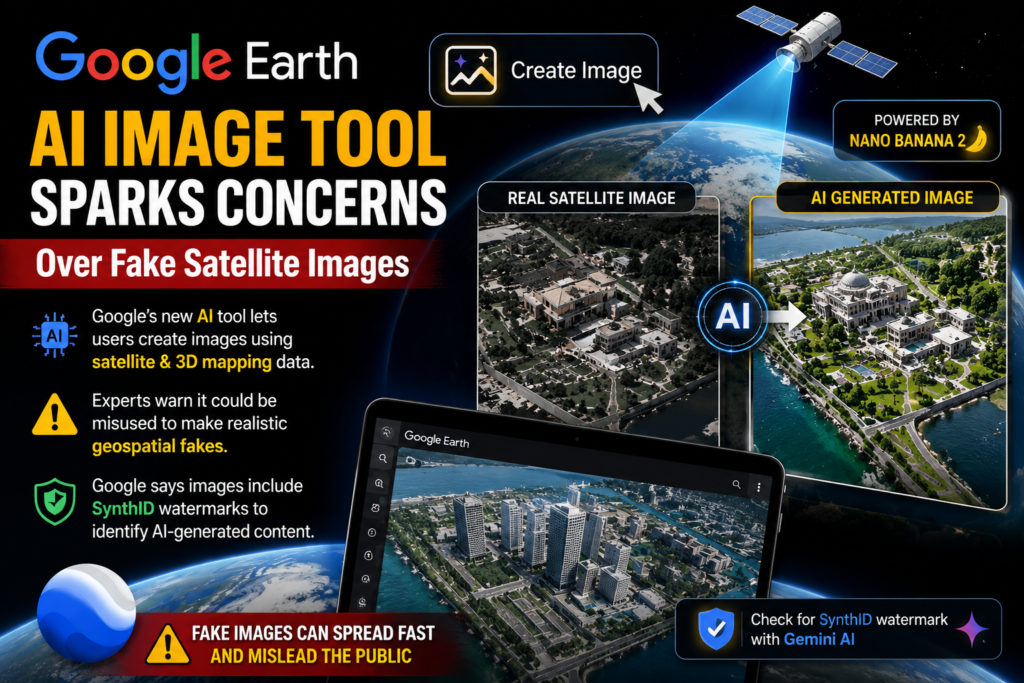
The newly released “Create Image” feature is powered by Google’s Nano Banana 2 AI model. It allows users to zoom into places inside Google Earth and quickly create custom visuals in just a few seconds, based on the geographic data they already have. The system is capable of altering landscapes and simulating environmental changes, and it can even recreate landscapes based on user instructions, offering a powerful tool but also one that can be quite sensitive.
Google says the tool will be used to “re-create historical environments, design real estate concepts and explore creative mapping ideas. It may also be helpful for urban planners, teachers and academic researchers seeking to illustrate geographic change over time. But digital investigation experts have said that technology could also be used to create satellite imagery that looks realistic, but is totally fake.
Google Earth has been touted as one of the most reliable sources of geographic information and fact-checking in the world, according to researchers. It is popular among journalists, scientists and government officials to check locations and to analyse world events. They are worried that the combination of AI-generated content with genuine mapping data will make it increasingly difficult to determine the real from the fake in the eyes of journalists, investigators and the general public.
Henk Van Ess, a digital investigations expert, cautioned that AI-generated imagery could prove believable just because they are generated from a trusted source such as Google, Google Earth, or Google Maps. The image can be fictional, but users might believe it is a true address, potentially fostering misinformation through social media and news outlets.
Other satellite imagery analyst Brady Africk also voiced concern that the update will facilitate creation and circulation of convincing fake satellite images online. He said that the growing use of AI-generated images could lead to trust issues among the public, making it more difficult to verify or scrutinise satellite images. Moreover, there was a warning that if the visuals are manipulated and then shared without proper context, they could also be particularly impacted by geopolitical analysis and reporting of conflict.
To address these concerns, Google stated that all images created using the new tool are imprinted with an invisible digital watermark called SynthID. Users can check if an image has this watermark by simply asking the Google’s Gemini AI assistant to help them, the company added. Google also said it is always working on enhancing transparency instruments for users to better recognize AI-generated content.
While the AI feature is an exciting opportunity for creative applications and may revolutionise the way users will interact with the geographic data, the key to maintaining trust in digital mapping services and minimising misinformation will lie in the responsible use of AI and the development of more robust verification tools. They also believe that making these advanced tools available with a public awareness and digital literacy will be important in ensuring that they are not misused.
The synergy of AI and mapping visualization tools will further shape the narrative around innovation and information integrity, which is likely to be a crucial subject of global dialogue.